Remembrance Day Road Closures
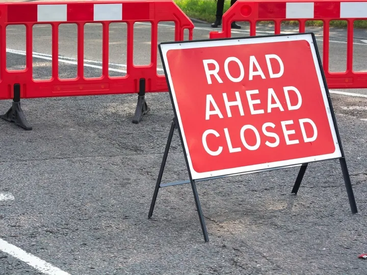
REMEMBRANCE DAY SERVICE/PARADE
The following roads will be closed on Sunday 09 November 2025 at the times specified or for such less time as is necessary to enable the event to take place
HOLMES CHAPEL (09:00-13:00)
London Road (Macclesfield Road to Victoria Avenue)
Station Road (for its full extent)
Sandiford Road (for its full extent)
Macclesfield Road (Hermitage Drive to London Road)
Chester Road (London Road to The Milling Field)
ALSAGER (14:00-16:00)
Ashmores Lane (for its full extent)
Lawton Road (Wesley Avenue to Crewe Road)
Sandbach Road North (Crewe Road to Green Drive)
Sandbach Road South (Lawton Road to Fields Road)
Crewe Road (Lawton Road to The Avenue)
The Avenue (for its full extent)
Brookhouse Road (Sandbach Road South to outside the Church)
MIDDLEWICH (09:00-13:00)
Lewin Street (for its full extent)
Leadsmithy Street (for its full extent)
St Michaels Way (Leadsmithy Street to The Bull Ring)
The Bull Ring including Bus Lane (for its full extent)
Hightown (for its full extent)
Queen Street (No.17 to Hightown)
Sutton Lane (Stallard Way to Lewin Street)
CONGLETON (09:30-12:30)
Lawton Street (Albert Place to Bank Street)
High Street (for its full extent)
Alberts Place (for its full extent)
Bank Street (for its full extent)
Park Street (for its full extent)
Kinsey Street (for its full extent)
Tanner Street (for its full extent)
Bark Street (for its full extent)
Market Square (for its full extent)
Market Street (High Street to Bus Station)
Moody Street (High Street to no.2)
Bridge Street (for its full extent)
Duke Street (for its full extent)
Mill Street/Swan Bank (Antrobus Street to West Street
West Street (Wagg Street to Antrobus Street)
Wagg Street (West Street to no.1)
SANDBACH (10:00-13:00)
High Street (for its full extent)
NANTWICH (06:00-14:00)
Market Street (for its full extent)
Churchyardside (for its full extent)
High Street (for its full extent)
Pepper Street (for its full extent)
Mill Street (Barker Street to High Street)
CREWE (06:00-14:30)
Earle Street (Market Street to Earle Street Roundabout)
Prince Albert Street (for its full extent)
Hill Street (for its full extent)
Heath Street (for its full extent)
Market Street (Heath Street to Market Square)
Victoria Street (for its full extent
Queensway (for its full extent)
SHAVINGTON (09:00-12:00)
Main Road (Crewe Road to Queen Street)
WILLASTON (13:15-14:00)
Colleys Lane (Crewe Road to Brassey Court)
HASLINGTON (10:30-11:45)
Crewe Road (Fields Road to Waterloo Road)
Waterloo Road (Crewe Road to Crosslands)
RAINOW (09:00-13:30)
Church Lane (Chapel Lane to Pedley Hill)
Pedley Hill (for its full extent)
Tower Hill (for its full extent)
Hawkins Lane (for its full extent)
SUTTON (09:00-12:30)
Church Lane (for its full extent)
Hall Lane (Church Lane to Sutton Lane Ends Bridge)
Hollin Lane (Church Lane to Symondley Road)
Walker Lane (Hollin Lane to Cop Meadow)
MACCLESFIELD (08:00-12:00)
Brunswick Street (for its full extent)
Unicorn Gateway (for its full extent)
Market Place (for its full extent)
Chestergate (Churchill Way to Market Place)
Mill Street (for its full extent)
Roe Street (for its full extent)
Duke Street (for its full extent)
Park Green (for its full extent)
Park Street (Lowe Street to Mill Lane)
Mill Lane (Park Green to The Silk Road)
Sunderland Street (Brook Street to Park Green)
Exchange Street (Exchange Close to Mill Street)
Queen Victoria Street (Lower Bank Street to Mill Street)
POYNTON (09:30-11:45)
Park Lane (Bulkeley Road to London Road South)
London Road South (Chester Road to George’s Road West)
Chester Road (London Road South to Burton Drive)
London Road North (Park Lane to Park Avenue)
Park Lane UW4991 (Park Lane to Limit)
BOLLINGTON (10:15-11:45)
Adlington Road (For its full extent)
Wellington Road (Palmerston Street to Adlington Road)
Palmerston Street (Wellington Road to Church Mews)
HANDFORTH (10:00-12:00)
Station Road (Hall Road to Wilmslow Road)
Wilmslow Road (Station Road to Spath Lane)
ALDERLEY EDGE (10:00-12:00)
Ryleys Lane (Wilmslow Road to Church Lane)
Access for emergency vehicles shall be maintained at all times.
Quick Links
Audlem In Cheshire

The village of Audlem is part of the unitary authority of Cheshire East.